
by William Eric McFadden
From the Clark Lake Fishing Area website:
-
Clark Lake is a headwater impoundment of Sinking Creek in the Great Miami River watershed. The Clark Lake watershed comprises approximately 4,384 acres, of which 80 percent is agricultural land and 8 percent woodlots. Construction of the earthen fill dam on Sinking Creek began in 1956 and was completed in January 1958. The valve was closed on March 12, 1958, and the lake was completely filled by April 30, 1958. The lake was built by the ODNR Division of Wildlife as a federal aid Dingell-Johnson Project for recreational purposes.
(The website for Clark Lake Wildlife Area, which encompasses Clark Lake Fishing Area, has essentially no information about the Wildlife Area except a map.)
Pictures
Description
On Sunday, April 9, 2024, one member of the Southeast Ohio Radio Adventure Team performed a successful activation of Clark Lake Wildlife Area (US-10632) as part of the Parks on the Air (POTA; link) program.
On the drive home from a multi-day trip in Dayton to experience the April 8, 2024, total solar eclipse, Eric McFadden, WD8RIF, stopped at Clark Lake Wildlife Area to perform a quick activation of the recently-added POTA unit. Eric was accompanied by this wife, Vickie, and their two small dogs, Theo and Ginny.
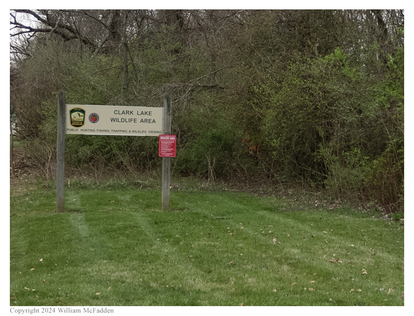
The Clark Lake Wildlife Area sign.
Eric, Vickie, and the two small dogs arrived at Clark Lake Wildlife Area at about 1445 UTC. After exploring the area a bit, Eric chose the boat-ramp parking area for his operation. Eric parked and walked Theo-dog while taking photos of the scenic lake. Then, because the weather was nice again after what had been a rainy morning, Eric decided to operate outside and set up his Elecraft KX2 on his folding camp-chair, hung his 28½' random wire as a vertical on his Jackite 31' telescoping mast supported on a drive-on base, and laid out three 17' counterpoise wires directly on the ground. Eric was on the air at 1516 UTC.
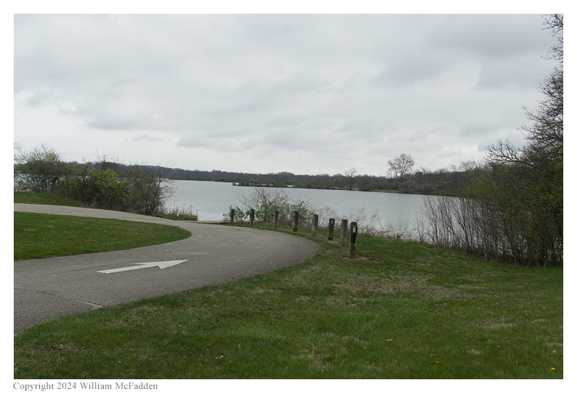
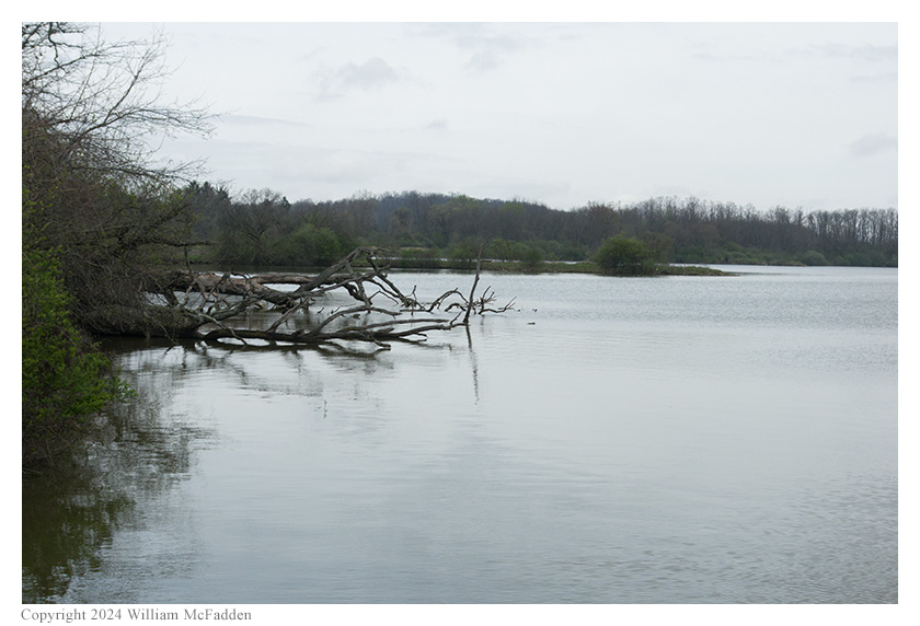
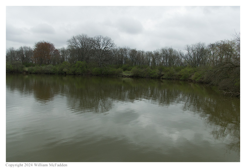
Clark Lake.
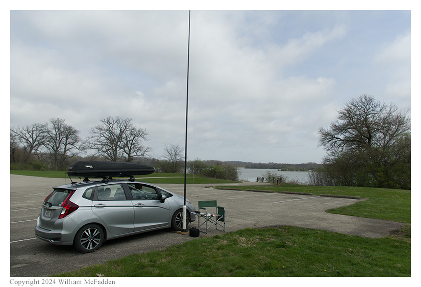

Eric's station.
Eric found he had excellent cell-signal and he would be able to spot himself on the POTA Spots website (link) and to use POTA Spots to identify possible Park-to-Park (P2P) QSOs.
Eric began his operation on 20m by finding himself a clear frequency to run and calling "CQ POTA", and was auto-spotted on POTA Spots. His first QSO came at 1517 UTC with N7RCS in Florida. Band conditions turned out to be rough on 20m. (Eric later learned that the ionosphere was still recovering from the total solar eclipse the day prior, with the K-Index at 3 and Bz at -4.) Eric's seventh QSO came at 1542 UTC with W3TRO in Florida. This twenty-one minute run included a P2P QSO with KB4VU at Fred C. Babcock/Cecil M. Webb Wildlife Management Area (US-6291) in Michigan and QSOs with operators located in Florida (3), Idaho (2), Kansas, and Texas.
Switching to 40m, Eric found himself a clear frequency to run, began calling "CQ POTA", and manually spotted himself on POTA Spots. His first QSO in this run came at 1542 UTC with WA9LEY in Illinois. QSOs came much more quickly on 40m than they had on 20m, with Eric's fifth QSO on 40m coming at 1547 UTC with WB2FUV in New York. This run included a P2P QSO with WA4PGM at Sailor's Creek Battlefield State Park (US-1314) in Virginia and QSOs with operators located in Illinois, Ontario, Virginia, Ohio, and New York.
Eric finished his activation by hunting for P2P QSOs and at 1551 UTC he completed a P2P QSO on 40m with WB8MIW at Langston State Game Land (US-6718) in Michigan.
All of Eric's QSOs were CW and were made at 5W output.
This might have been the first time Eric had used the 28½' end-fed wire antenna with his KX2 without an unun, and with the antenna connected directly to the KX2 via a BNC-to-binding-posts adapter, Eric found he felt some RF on the metal parts of his CW paddle.
While Eric was tearing down his station and re-packing the car, and while Vickie was walking Ginny-dog, an osprey flew over and landed in a nearby tree. Vickie studied the large bird through binoculars but, unfortunately, Eric was unable to ready his DSLR and long lens before the osprey flew off.
Bonus: Eclipse Photos from the April 8, 2024, Total Solar Eclipse
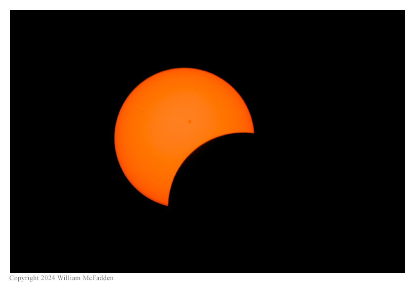
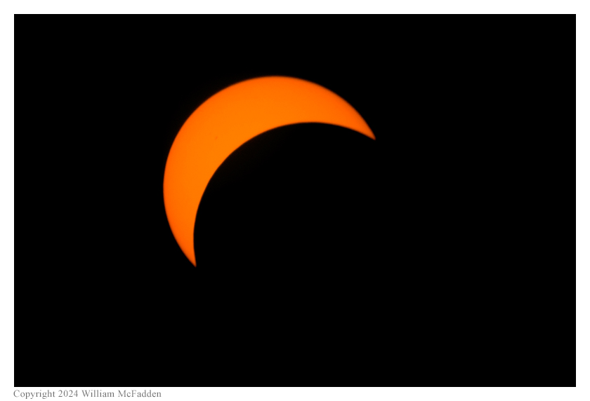
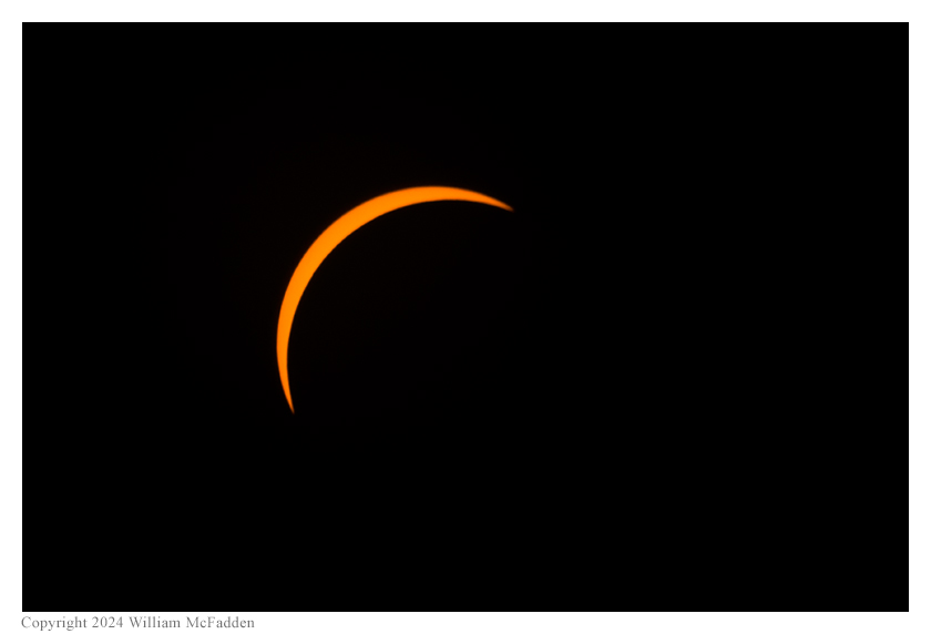
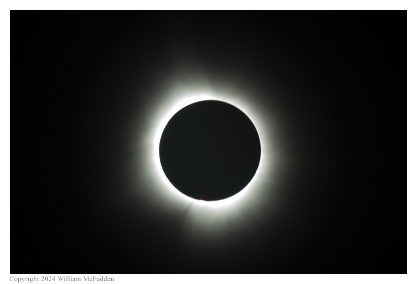
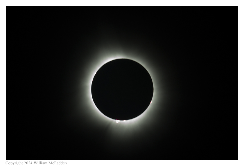
According to Tamitha Skov, as presented in her video published on April 14 (link), the bright structure within the near the sun's (apparent) south pole in the two photos of totality is a prominence (info). What isn't apparent in Eric's photo is that a yet-to-be-launched solar storm is magnetically tethered to the top of this prominence.
(return)