
by William Eric McFadden
From the nature preserve's website:
-
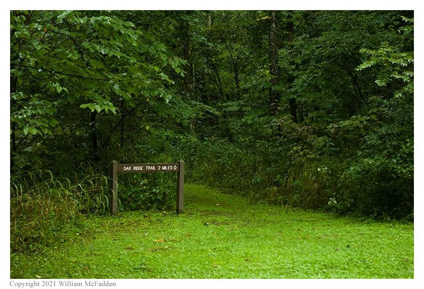
This 491-acre preserve encompasses a variety of habitats typical of Appalachian Ohio. The area is diverse in vegetation and ranges from various successional stages to mature forests in the deep ravines and on the steep hillsides. The area is dissected by Jordan Run, a tributary of the Hocking River, and has steep topography, varying from 680 to 900 feet in elevation. Large beech and oak trees are found in the cool moist ravines while the drier uplands are dominated by oak hickory forests, typical of the region.
Due to the diversity of the landscape, a large variety of ferns and wildflowers abound. Some of the more interesting plants include weak aster, green adder's-mouth orchid and Virginia meadow-beauty. Mistletoe, a parasitic plant on trees, has also been reported from this preserve. The most notable landscape feature is a large pond created by beaver, complete with many trees bearing the marks of these industrious animals and a stick-built den. The pond, which stretches for several acres, draws a variety of migratory waterfowl.
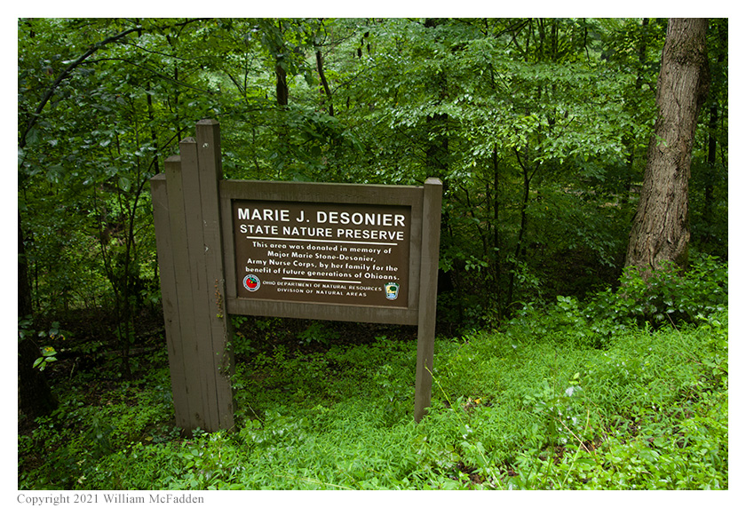
The preserve was a gift of Henry I. Stein, who gave the area to the Division of Natural Areas and Preserves in 1974 as a memorial to his sister, Marie J. Desonier.
Pictures
Description
 On Thursday, August 19, 2021, one member of the Southeast Ohio Radio Adventure Team
performed a successful impromptu activation of Desonier State Nature Preserve in Ohio as part of the Parks on the
Air (POTA; link) program. This was the first-ever POTA activation of
Desonier State Nature Preserve.
On Thursday, August 19, 2021, one member of the Southeast Ohio Radio Adventure Team
performed a successful impromptu activation of Desonier State Nature Preserve in Ohio as part of the Parks on the
Air (POTA; link) program. This was the first-ever POTA activation of
Desonier State Nature Preserve.
Being impatient to activate some of the many new POTA units had been added in Ohio a few days earlier, Eric McFadden, WD8RIF, took a half-day of vacation on a rainy Thursday morning to first visit the nearby Acadia Cliffs Wildlife Area and then the Desonier State Nature Preserve. Eric was accompanied by his small dog, Theo.
 Following a successful activation of Acadia Cliffs Wildlife Area (link)
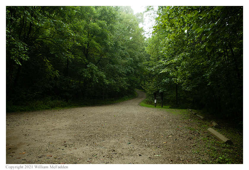
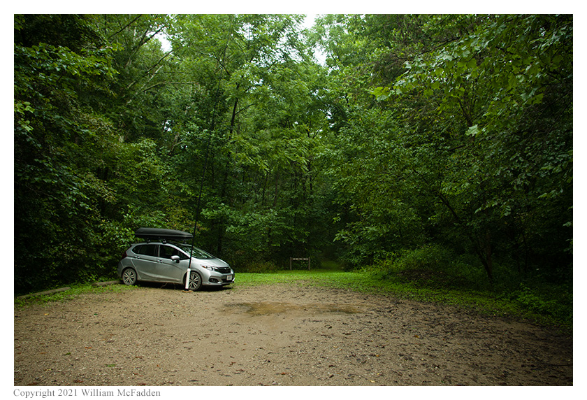
and a drive on a seriously muddy road, Eric and Theo arrived at the Desonier State Nature Preserve parking
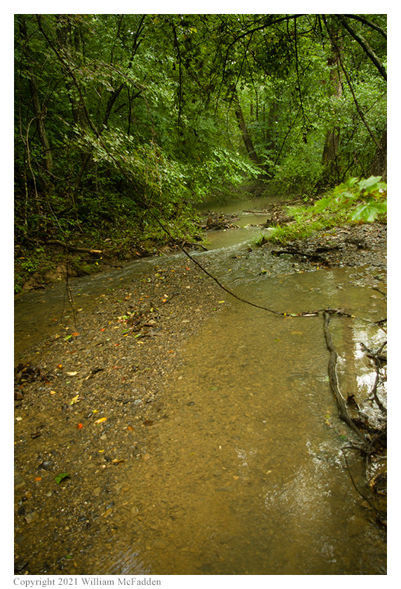
area at about 1415 UTC. Eric parked his car near near a pleasantly burbling brook, and deployed his his 28½'
wire antenna on his 31' Jackite telescoping fiberglass mast and drive-on base. Because of the rain, he set up his
KX3 in his car. Eric was on the air at 1422 UTC.
Following a successful activation of Acadia Cliffs Wildlife Area (link)
and a drive on a seriously muddy road, Eric and Theo arrived at the Desonier State Nature Preserve parking
area at about 1415 UTC. Eric parked his car near near a pleasantly burbling brook, and deployed his his 28½'
wire antenna on his 31' Jackite telescoping fiberglass mast and drive-on base. Because of the rain, he set up his
KX3 in his car. Eric was on the air at 1422 UTC.
Eric surprised but pleased to find he had good cell-signal at this location, and he was able to spot himself to POTA Spots (link) and to use POTA Spots to identify possible park-to-park (P2P) QSO opportunities.
Eric began operations by finding a frequency on 80m, spotting himself to POTA Spots, and calling "CQ POTA". Eric's first QSO came at 1425 UTC with his good friend K8RAT in central Ohio. QSOs came surprisingly quickly on 80m, with Eric's fourth QSO coming at 1429 UTC with WF4I in North Carolina.
Pausing to check POTA Spots for P2P QSO opportunities, Eric made a P2P QSO at 1432 UTC on 40m with KD5TXX who was activating Fort Massac State Park (K-0993) in Illinois.
 After finding his own frequency on 40m and spotting himself to POTA Spots, Eric made a nice run of eight QSOs
between 1433 UTC and 1442 UTC.
After finding his own frequency on 40m and spotting himself to POTA Spots, Eric made a nice run of eight QSOs
between 1433 UTC and 1442 UTC.
Switching to 30m, Eric spotted himself to POTA Spots and made a short run of three QSOs between 1448 UTC and 1451 UTC.
Finally, pausing again to check POTA Spots for P2P QSO opportunities, Eric made a P2P QSO at 1454 UTC on 40m with N0SA who was activating Bismarck State Conservation Area (K-7513) in Missouri, a P2P QSO at 1458 UTC on 40m with WA3GM who was performing the first-ever activation of PA 056 State Game Land (K-8755) in Pennsylvania, and a P2P QSO at 1500 UTC with K0BXB who was activating Tichigan State Wildlife Area (K-8671) in Wisconsin.
In all, Eric made nineteen QSOs, including four P2P QSOs. All of Eric's QSOs were CW and were made with five watts output.
(return)